Pittsford Connector Trails
Pittsford Connector Trails
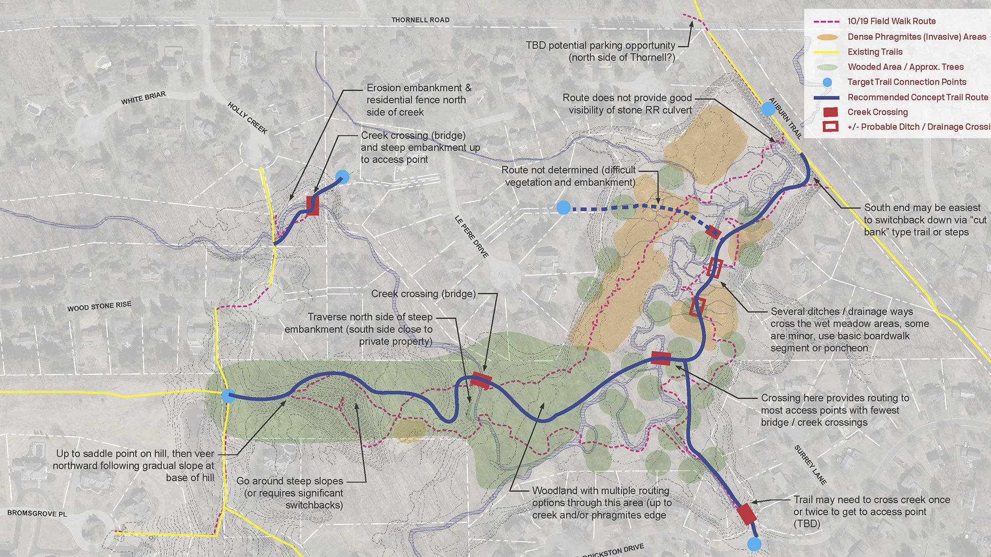
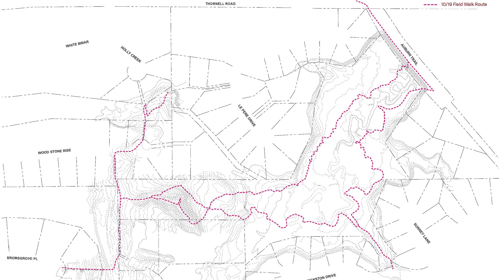
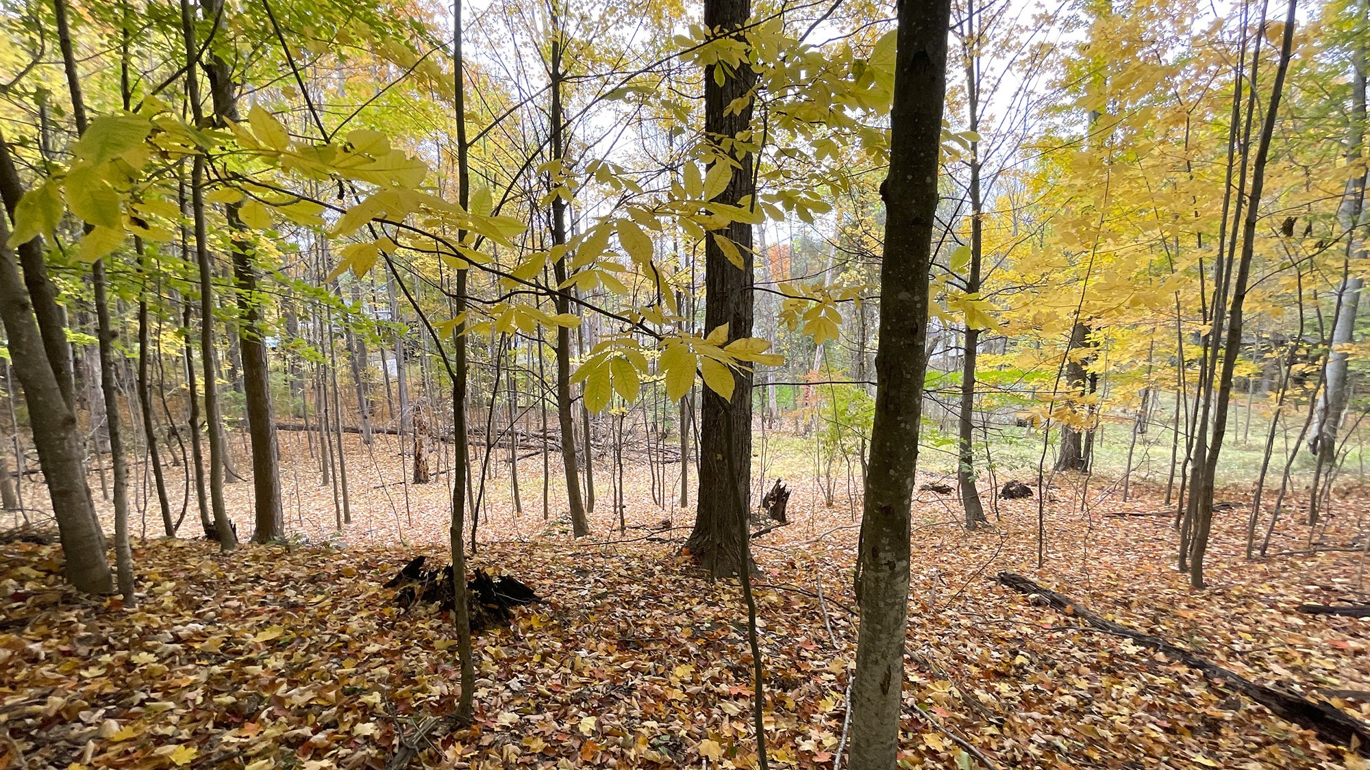
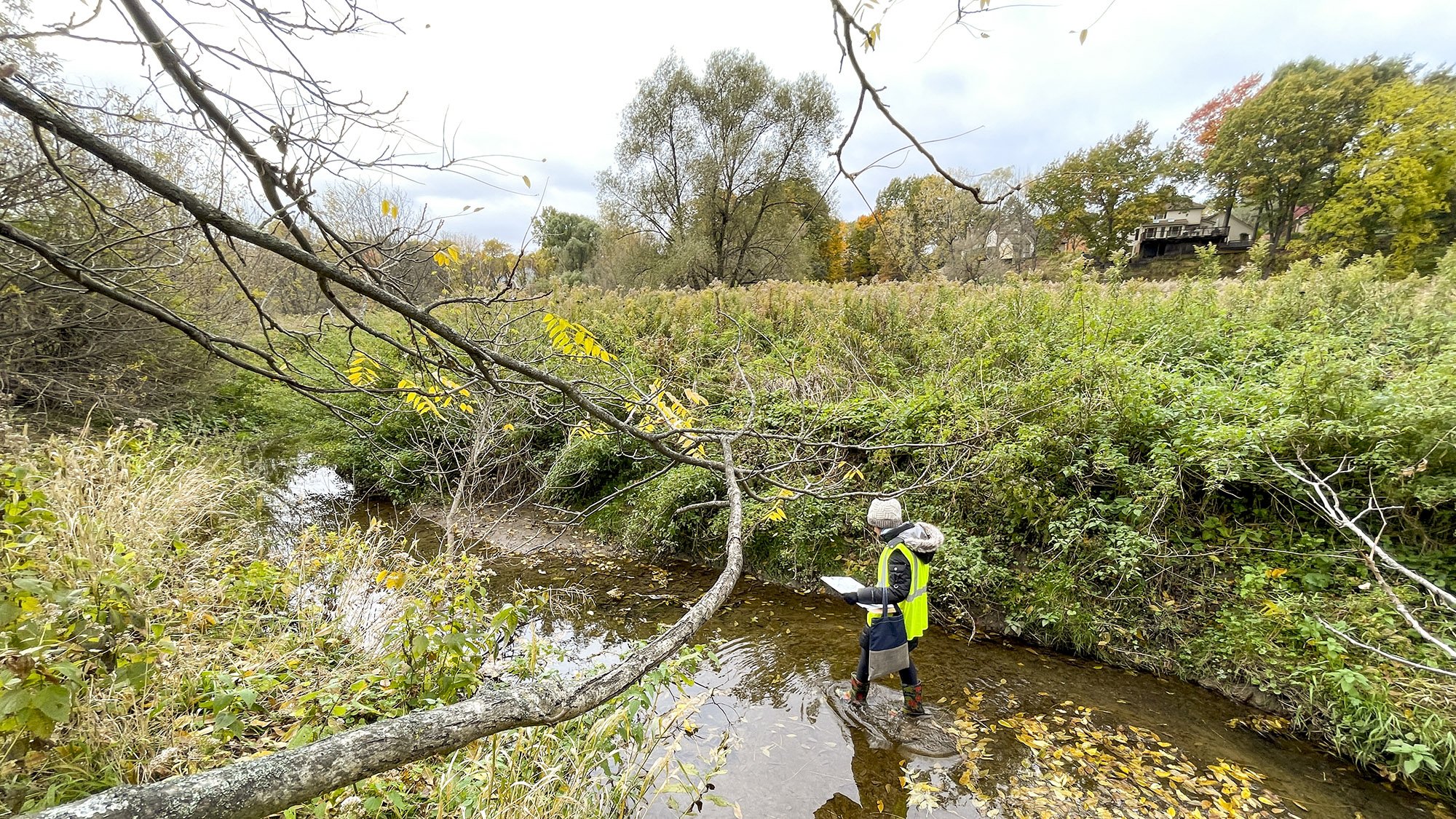
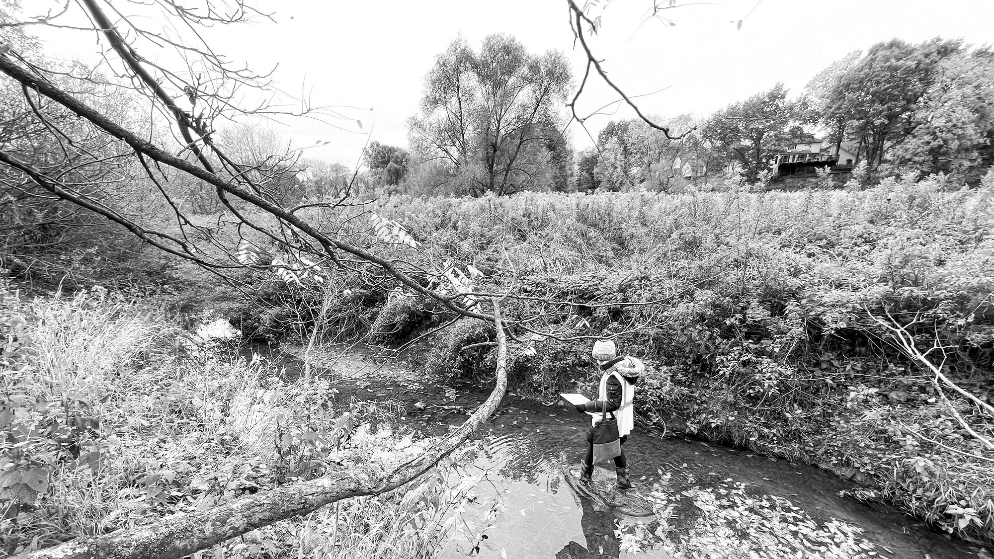
Steele Landscape Architecture conducted a detailed trail feasibility study for the Town of Pittsford, enhancing connectivity between neighborhoods and the Auburn Trail. The project involved assessing approximately 4,000 feet of potential trails, traversing diverse topography, wetlands, and Mill Creek, and identifying stream crossings.
Steele assessed existing conditions and provided recommendations for trail types, focusing on either ADA-compliant pathways or recreational hiking trails. Given the site's constraints, including dense vegetation and steep embankments, the decision was made to develop cost-effective recreational hiking trails utilizing traditional construction techniques such as puncheons and water bars, minimizing equipment use and simplifying permitting.
TEAM
Steele Landscape Architecture
SERVICES
Trail Planning
Ecosystem Documentation
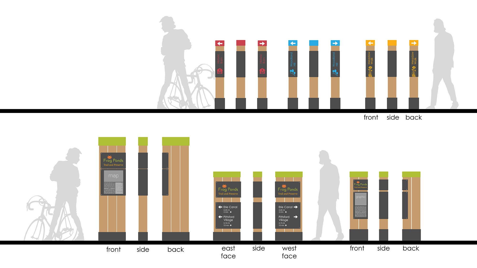
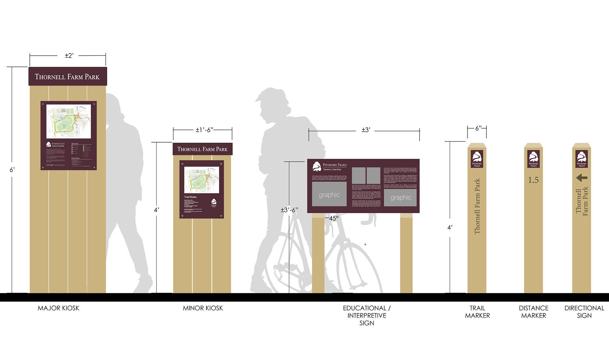
Signage Design
Completed 2023